
21 July 2014
Vilshofen, Germany to Inzell, Austria (47 miles; Total = 141 miles)
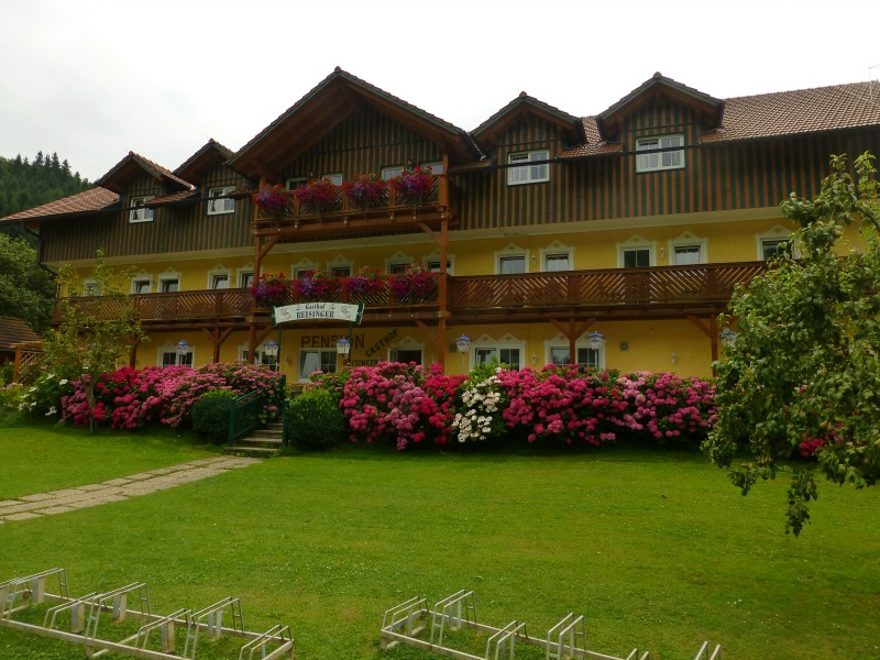
“Don’t mess with Mama.” This is our mantra for the evening. We’ve checked into the cutest riverside Gasthof in a town that consists of 4 buildings which I think, perhaps, makes this place not actually a town. “Mama” is the octogenarian who showed us our room after we had patiently awaited her arrival per instruction from her son. This is definitely a family affair and I’m pretty sure Mama is in charge.
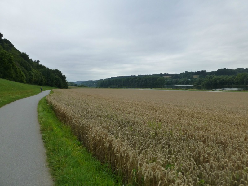
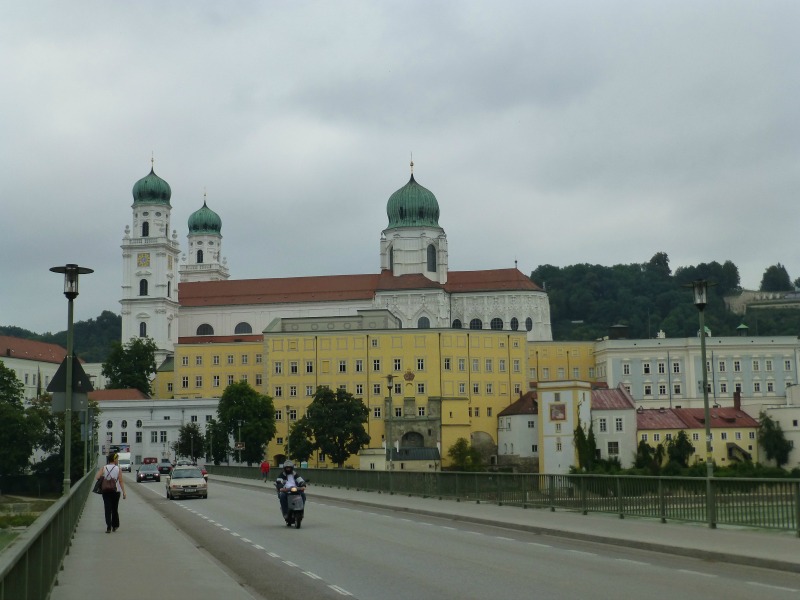
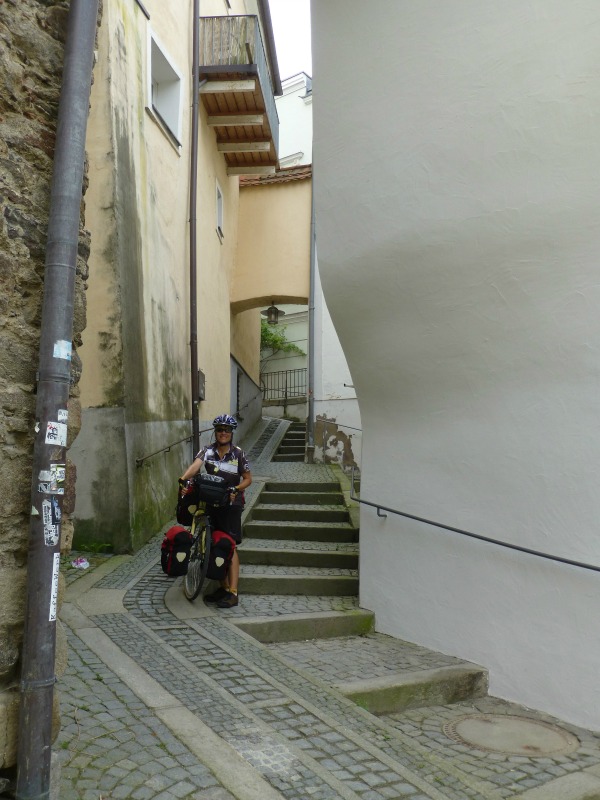
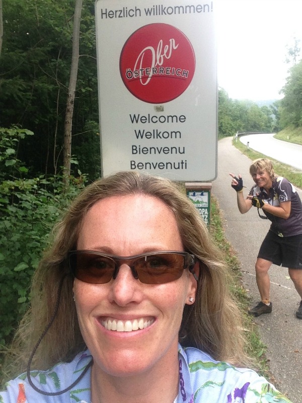
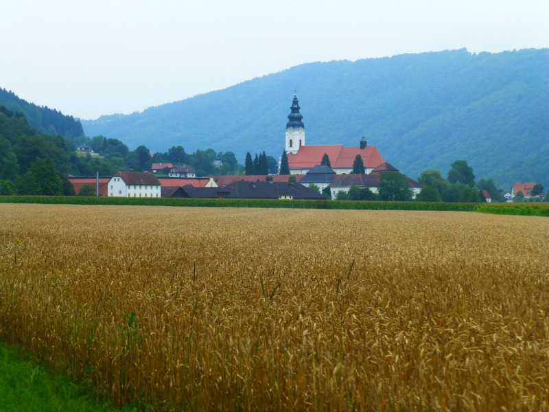
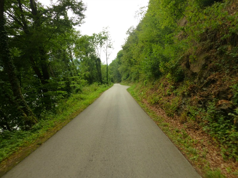
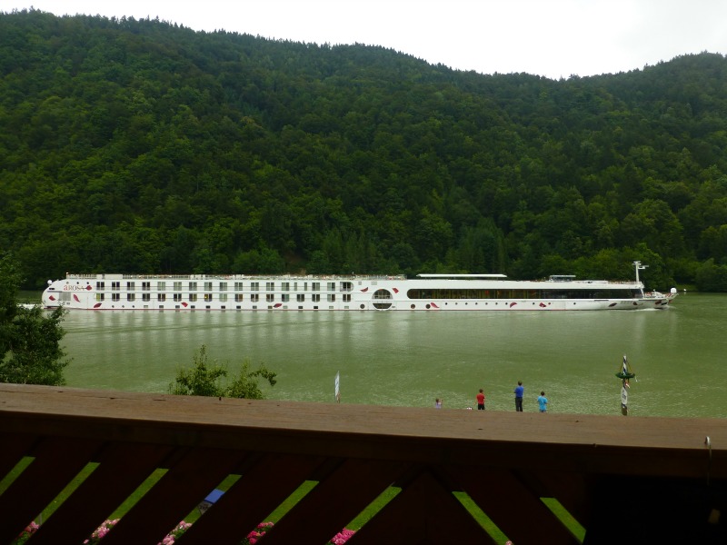
This Danube River route is really starting to deliver in the scenery department, which is great considering the route itself has been surprisingly confusing in places – I mean, how hard can it be to follow a rather large river downstream? But we’re not cycling in our usual manner in that we have NO MAP. Okay, we have the tourist map of the Danube route that was sent to us by the Austrian Tourism board before we left Seattle. But since it (a) isn’t based on any actual cartography and (b) is written in German, I would count that as having NO MAP. Part of the beauty of today’s ride was that we cycled mainly along lovely, forested cycleways but that also meant that my map budget stayed in my pocket.
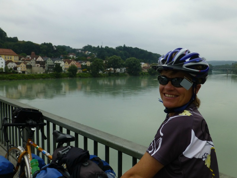
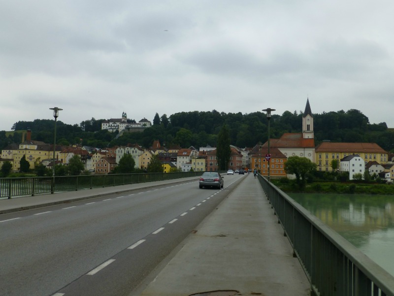
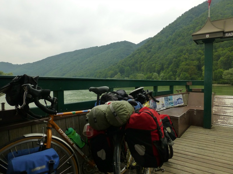
So what happens when you essentially have NO MAP? Well, you end up spending a few extra Euro on tiny ferries criss-crossing the Danube. Should we be cycling on this side? Sure, this looks good, only I think the route just ended with that ACHTUNG! sign. Okay, let’s hop the ferry to the other side. Oh, now this road ends too? Good thing there’s another ferry to take us back across. I know it sounds like I’m complaining and I guess I am so I really should change my tune because criss-crossing the river was pretty darn scenic and the farther downriver we traveled the better it got, so I take it all back and hope you won’t rat me out to Mama. Clearly what happens when you have NO MAP on a day like today is you get to enjoy the unexpected.
Wow, looks amazing. So scenic. Oh wow!!